


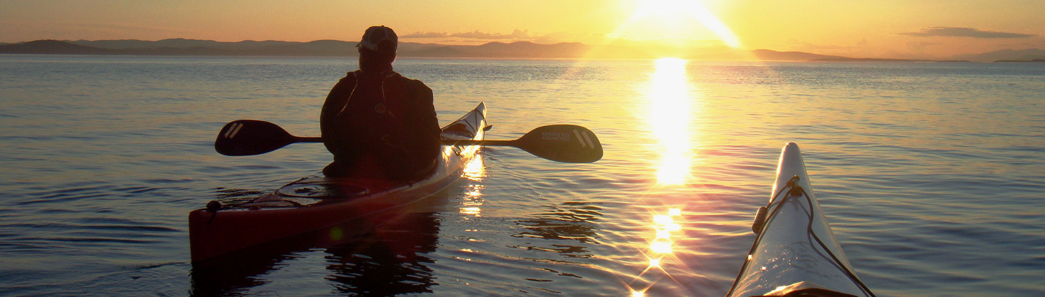
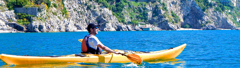
Did you ever consider Italy as a major destination for sea kayaking ?
You should!!! Because with its 7 600 km. of coastline Italy offers some great spots for sea kayaking!
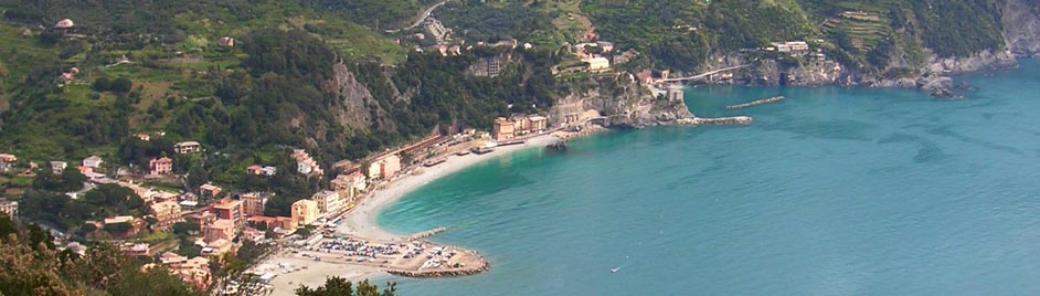
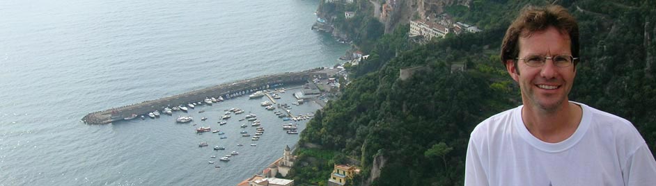
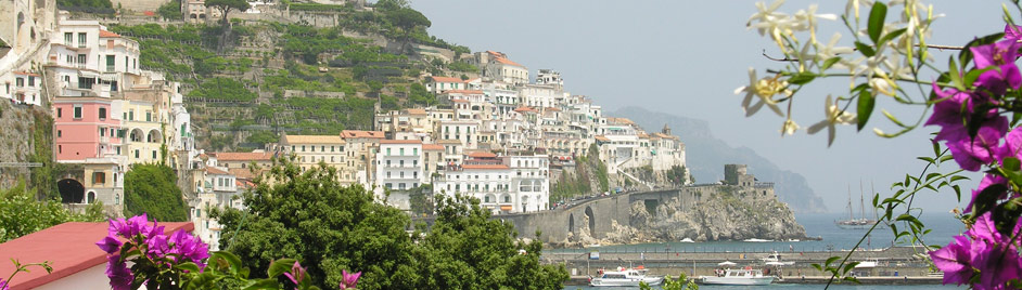
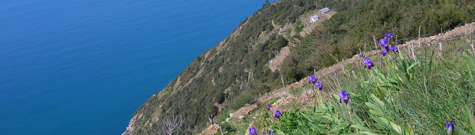
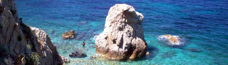
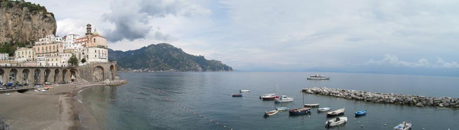
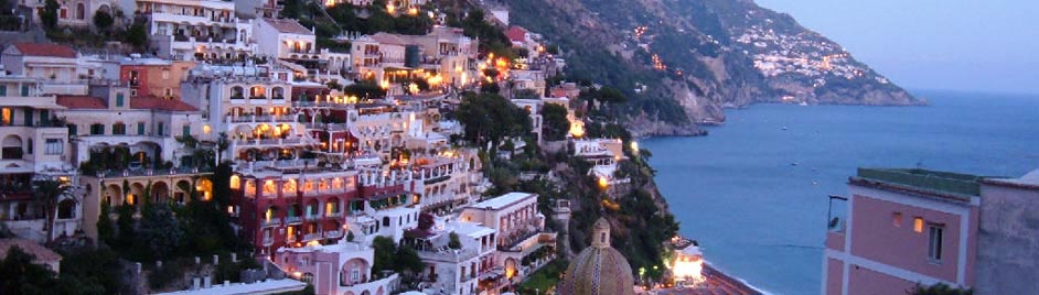
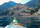
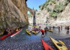
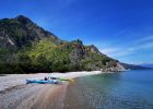
Think about the world famous Amalfi Coast, where you can paddle between the famous resorts, like Amalfi and Positano, but discover as well some unknown villages, empty beaches and hidden inlets! Dream about paddling around the island of Capri! Or discover with us some stretches of still unknown pristine coastline, like the Coast of the beautiful Cilento National Park.
‘Italy Kayak Tours’ offers a select range of kayak tours along Italy’s most beautiful coasts, both for beginners, as well as for more experienced kayakers.
The logistics of the tours are taken care of by Genius Loci Travel, Italy’s leading outfitter of active outdoor adventures.
Our groups are small group tours (max. 8 people), with set departure dates, fully guided tours with the best possible kayaks and gear.
Some other departures are organised in collaboration with Sea Trek, the leading kayak and SUP center from Sausalito, California.
And of course it is always possible to organise a tailor made trip, especially for you and your friends! Many of our tours can be turned into private ‘Bespoke Adventures‘ to accommodate private group travel.
We can organise both “off the shelf” itineraries, as well as create custom itineraries to meet your special needs. Book the dates you want, with the family or friends you wish to bring along!
Love kayaking, but don’t want to spend your whole holiday paddling? Especially for our clients we offer a small number of selected ‘combination trips’, with some days of one of our great walking or cycling tours!
Check out our great offer of Sea Kayak Tours in Italy!
Sea Kayak Tours in Italy |
|
|||||||

Sea Kayak Tours in Italy |
|
|||||||
Sea Kayak Tours in Italy |
|
|||||||
Sea Kayak Tours in Italy |
|
|||||||
Why a Kayak tour with Genius Loci Travel?
One of the strengths of Genius Loci Travel is the design of each tour. A Genius Loci tour takes you along carefully selected routes, making sure that you see the best that each area has to offer, with an optimal mix between activities (kayaking, hiking & sightseeing) and relax, between culture & nature.
According to the area, and on the kind of tour you choose, on some tours the focus is more the kayaking, on others also on the walking & the cultural aspects. But all our tours provide the best possible mix between culture & nature. Not one single day is the same on our tours!
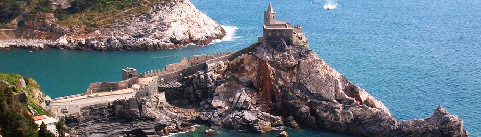
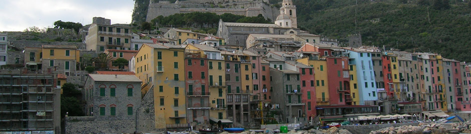
Of course we organise tours along the stunning Amalfi Coast, but as well we offer some great kayaking adventures in Portofino and along the coast of the Cilento National Park.
Type of tour
On our tours we aim to find the right balance between continuous ‘Inn-to-Inn’ routes and those that are ‘Centre based’. Usually you change accommodation about every 2 days on our tours. This avoids the hassle of having to change hotel every day, while allowing you to follow a continuous route through the area, without having to travel each day to the start of your route. Also real ‘Inn-to-Inn’ trips as well as centre-based tours are available on request.
Some trips are for everybody, others are more challenging. Some trips focus just on the sea-kayaking, some are mixed with other activities, taking in some amazing walks and some sightseeing ‘musts’. You make the choice!
Also do we offer – exclusively for our clients on one of our walking or cycling tours – some independent tours, on which you are free to follow the route at your own pace. These tour programmes are flexible, you can normally start your trip on any day during the season, and you can add on extra days where and when you desire, for resting or sightseeing, as well as to opt for tour extensions in nearby areas.


